Drone crop mapping and other drone services.
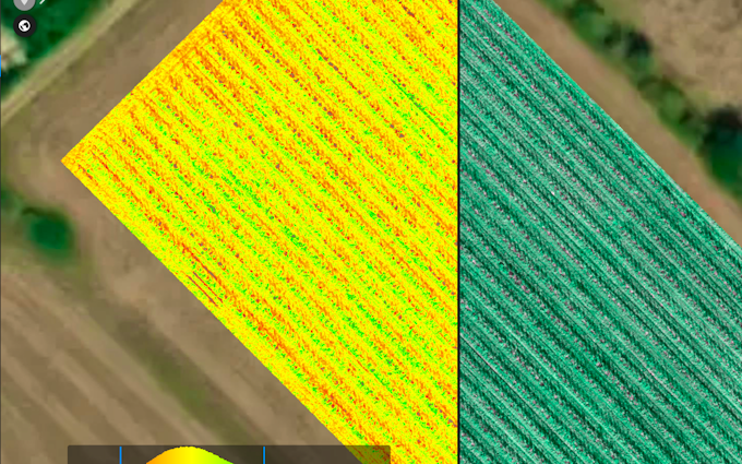
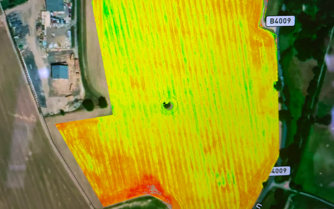
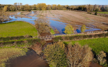
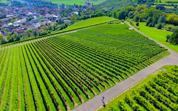
Get a deeper insight into your crops health, see where is good and bad, spot problems before the become visible to the naked eye and reduce fertiliser or spray usage with variable rate maps. We offer drone mapping of crops as well as other areas of farmland or buildings. We can provide crop health data, elevation maps showing heights and potential waterlogging locations or variable rate maps to put into your sprayer or spreader. We can also inspect high buildings for damage or wear, survey solar panels, spot heat spots or asses damage for insurance purposes. Contact us to see how we can help
Region We offer crop mapping and crop scouting using drones across Berkshire, Hampshire, Surrey, Oxfordshire, Wiltshire and Gloucestershire.